|
 |
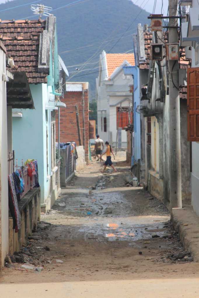
| Street view | |
| Latitude: N 12°25'23,82" | Longitude: E 109°8'46,77" | Altitude: 3 metres | Location: Thon Tan Thuy | State/Province: Khanh Hoa | Country: Vietnam | Copyright: Ron Harkink | See map | |
| Total images: 26 | Help | |
|
 |
| Street view | |
| Latitude: N 12°25'23,82" | Longitude: E 109°8'46,77" | Altitude: 3 metres | Location: Thon Tan Thuy | State/Province: Khanh Hoa | Country: Vietnam | Copyright: Ron Harkink | See map | |
| Total images: 26 | Help | |